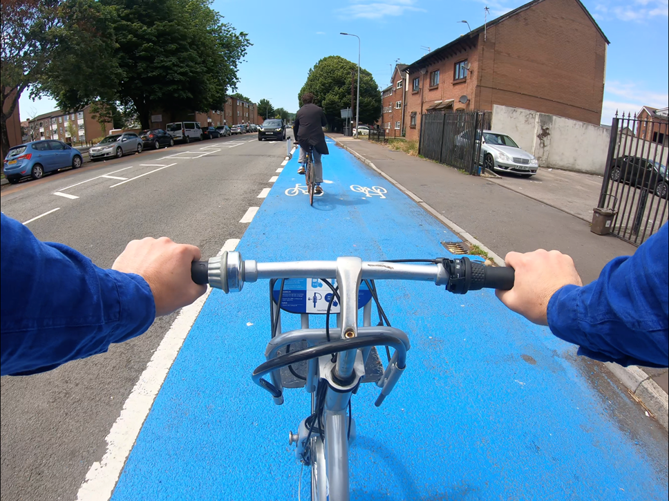
Save money, improve health, and help the environment
Arbed arian, gwella eich iechyd a helpu'r amgylchedd
Overindulged at Christmas? Looking to get fit and healthy in the New Year? Then why not try out one of the many walking and cycling routes on your doorstep?
Whether you’re looking to swap from the car to a healthier and more cost-effective commute, thinking of taking a weekend stroll, or simply planning a bike ride with friends and family, there’s likely to be an opportunity nearby with more than 2000km of high-quality local walking and cycling routes already available across Wales.
Following months of public consultation and working closely with the Welsh Government, local authorities have published their Active Travel Network Maps, which include a comprehensive list of fully approved and accessible active travel routes, which can be accessed on Data Map Wales.
The maps bring together both existing routes as well as plans to deliver new and improved routes over both the short and long term with funding from the Welsh Government’s Active Travel Fund.
The 2023-24 funding round is now open for applications and the Welsh Government is encouraging local authorities to apply for funding from the £55m pot to help them realise their ambitions for active travel in their community.
Deputy Minister for Climate Change, with a responsibility for Transport, Lee Waters said:
“Getting people out of cars for short journeys and encouraging them to walk or cycle instead is a huge challenge for us, but one that has to be met if we are to reach our net zero carbon emission target by 2050.
“We need to create the right infrastructure and have the right routes in place so that people have the choice of walking and cycling for their everyday journeys - we need to make the right thing to do, the easy thing to do.
“There is still a long way to go, but I’m pleased to see we’re moving in the right direction.”
Notes to editors
Active Travel Fund
The Active Travel Fund is administered by Transport for Wales (TfW) on behalf of Welsh Government. The fund supports schemes that deliver the following grant objectives:
- Encourage modal shift from car to active travel in isolation or in combination with public transport
- Improve active travel access to employment, education, key services and other key traffic generating destinations
- Increase levels of active travel
- Connect communities
Since 2018 the Welsh Government has invested up to £70m each year in Active Travel Funding and will continue to do so in 2023-24, following an announcement as part of the draft Budget published earlier this month.
Local Authorities can now apply for funding and are encouraged to do so before the deadline of 2 February, 2023. Each local authority will be able to access a minimum of £500,000 to undertake minor works to improve their active travel networks and undertake preparatory work on larger schemes.
The application guidance can be found here: Active Travel Fund: guidance for applicants 2023 to 2024 | GOV.WALES / Teithio llesol: canllawiau 2023 i 2024 | LLYW.CYMRU
The application form can be found here, however applications are submitted using TfW’s funding portal: Active travel fund: application form 2023 to 2024 | GOV.WALES / Teithio llesol: ffurflen gais 2023 i 2024 | LLYW.CYMRU
Active Travel Mapping:
The Active Travel (Wales) Act 2013 requires local authorities in Wales to produce maps of walking and cycling networks in their local area, known as Active Travel Network Maps (ATNMs). These maps are designed to show two main things:
- Existing routes – current walking and cycling routes that meet Welsh Government active travel standards and that can be used for everyday journeys, and
- Future routes – new routes that the local authority proposes to create in the future, as well as routes that are planned for improvement to bring them up to the standards.
Existing routes: The maps include a small number of existing routes that fall slightly short of the required standards, but which are deemed important enough by the local authority to be included. Where this is the case, there will be a short ‘route statement’ available explaining the route’s limitations, to enable users to make an informed decision about whether the route is suitable for them or not.
Future routes: These are intended to show how the walking and cycling network will develop over a fifteen-year period, and information about whether a route is planned for development in the short, medium or long term will be available on the maps. Local authorities use criteria such as the number of people a route could benefit, and the extent to which a route addresses local needs, to help determine the order in which routes should be developed or constructed. Timescales provided by the local authorities are indicative and may be subject to change. In particular, within the context of infrastructure development, ‘short term’ is likely to indicate an intention to build within the next five years, rather than a commitment to an imminent start date.
Active Travel Network Maps | DataMapWales (gov.wales)
Mapiau Rhwydwaith Teithio Llesol | MapDataCymru (llyw.cymru)
